Entry No. 6 — the Watertown & Fort Drum file — filed under: lighthouse
Tibbetts Point Lighthouse
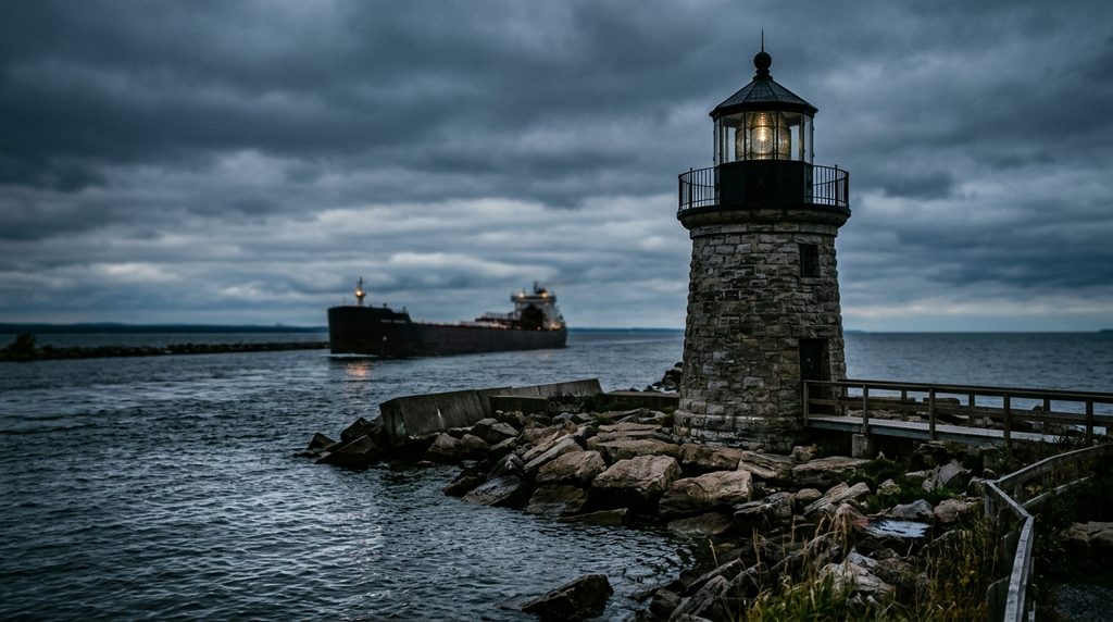
An 1854 circular stone lighthouse marking the exact convergence where Lake Ontario empties into the St. Lawrence River, housing an original rotating French Fresnel lens.
→ Three more weird outdoor & roadside oddities in Watertown & Fort Drum — never the same twice
The story
Erected in 1854 on land deeded by Captain John Tibbetts, this 69-foot stone tower marks the dramatic transition point between the Great Lakes and the Atlantic Ocean seaway.
The tower still retains its authentic 1854 hand-cut Parisian Fresnel lens, casting its beam across international shipping lanes visible from the Canadian shore.
What it's like
Free grounds access. Visitors can tour the foghorn building museum and visitor center. The shoreline can be cool and windy; bring jackets. Paved on-site parking.
The move: Stand at the westernmost tip of Cape Vincent where the vast inland sea of Lake Ontario narrows into the river, watching massive international freighters navigate the passage.
- 📍 Cape Vincent
- 💸 Free
- 🌗 Indoor or outdoor
Where: 33435 County Route 6, Cape Vincent, NY 13618
Hours: Added 2026-11-14 — confirm current hours before you go.
Pair it with
- Antique Boat Museum & La Duchesse — Drive twenty minutes east along the riverfront to the Antique Boat Museum in Clayton.
More weird in Watertown & Fort Drum



Good to know
Can you see Canada from the lighthouse?
Yes, Wolfe Island, Ontario is visible across the shipping channel less than two miles away.
Plan a visit & invite your people →
Further reading: townofcapevincent.org
last checked: 2026-11-14