Entry No. 29 — the El Paso & Fort Bliss file — filed under: miscellanea
El Paso Tin Mines Trail
This scenic mountain trail leads directly to the ruins of an abandoned tin mine—the only historic operation of its kind ever to have existed in the United States.
→ Three at a time, never the same twice — explore weird El Paso & Fort Bliss
The story
In 1899, prospectors turned up cassiterite—tin ore—nestled in the granite folds on the eastern slope of the Franklin Mountains. At the time, the United States was entirely dependent on foreign imports for tin plate, canning, and bronze, making a domestic strike feel like hitting liquid gold. By 1909, investors organized the El Paso Tin Mining and Smelting Company, dragged a fifty-ton crushing mill and smelting furnace up the arid alluvial fan, and laid dynamite into the mountain.
The bonanza never arrived. The tin-bearing veins pinched out rapidly, water to feed the stamp mill was almost impossible to source in the Chihuahuan desert, and the venture collapsed into bankruptcy by 1915. In its five brief years of stuttering operation, the site yielded a grand total of around 160 one-hundred-pound ingots—barely eight tons of metal. That dismal return cemented an eccentric record: it stands as the only commercial tin mining and smelting operation ever to produce finished tin pigs in the United States.
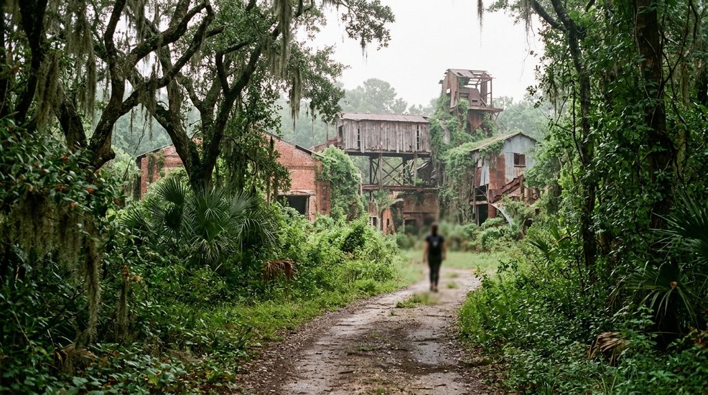
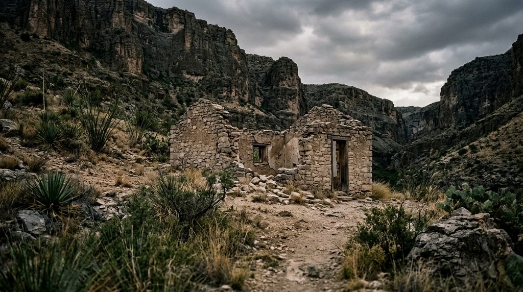
Instead of being dynamited shut or barricaded behind razor wire by the state park, the site remains largely raw and accessible. The desert has swallowed the wood superstructures, but the open horizontal adit cuts straight into the living stone, flanked by the sprawling concrete footprints of the old furnace and piles of pale tailings that still resist the desert scrub.
What it's like
Expect a six-mile round-trip trek across exposed desert with zero shade, meaning that if you attempt this after 9 a.m. between May and September, you are inviting heat exhaustion. Most locals skip the grueling west-side climb over Mundy's Gap and instead access the trail from the neighborhood lot at Chuck Heinrich Memorial Park, following an old rocky jeep road gently uphill toward the mountains. At the end of the line, you will find concrete machinery foundations, rusted scrap, and the gaping mouth of the mine drift. Step inside and the ambient desert temperature drops twenty degrees immediately, but bringing a dedicated, high-lumen flashlight or headlamp is non-negotiable—phone lights are utterly swallowed by the pitch black, and the rock floor is strewn with loose scree.
The move: Start early from Chuck Heinrich Memorial Park, before 9 a.m. in summer, and follow the old rocky jeep road uphill toward the ruins of the only historic tin mine in the United States.
- 📍 Franklin Mountains
- 💸 Free
- ⚡ Up for anything
- 🌗 Outdoors
Where: Franklin Mountains State Park, Tom Mays Access Rd., 2900 Tom Mays Access Rd., El Paso, TX 79911 (trailhead/access via Franklin Mountains State Park)
Hours: Added 2026-11-17 — confirm current hours before you go.
Pair it with
- Aztec Cave Trail — Swap an abandoned 20th-century industrial drift for natural prehistoric shelter by heading over to the Franklins' west side to scramble into cliffside limestone caves.
- El Paso Museum of Archaeology & Wilderness Trails — Located right at the base of Transmountain Road, this museum adds thousands of years of indigenous desert survival context to the very mountains where prospectors failed to strike it rich.
- National Border Patrol Museum — Sharing a parking lot with the archaeology museum, this spot delivers a hyper-specific, artifact-heavy detour packed with smuggler evasion boots and vintage border surveillance gear.
More weird in El Paso & Fort Bliss
Good to know
Can you actually go inside the abandoned mine?
Yes. Texas Parks and Wildlife allows visitors to walk into the horizontal drift tunnel. Bring a real flashlight or headlamp—not just a smartphone—and stay on the main floor rather than attempting to scale shafts or bypass safety fences.
Where is the best trailhead to start the hike?
While the mine is located within Franklin Mountains State Park, the most direct and popular route starts on the east side of the range at Chuck Heinrich Memorial Park, located at the end of Jon Cunningham Boulevard. Entering from the park's official Tom Mays Unit on the west side requires a much steeper, more strenuous haul across Mundy's Gap.
Is there a fee to hike to the tin mine?
If you park at Chuck Heinrich Memorial Park to take the eastern jeep road, municipal parking is free, though you are hiking onto state park land. If you enter through the park's west entrance off Tom Mays Access Road, standard Texas State Parks day-use fees apply.
When is the best time of year to visit?
October through April offers the safest weather. The trail provides no canopy or windbreaks; in summer, radiant heat from the desert floor can quickly push temperatures past 100°F. Always pack at least two to three liters of water per person.
Plan a visit & invite your people →
Further reading: visitelpaso.com · bloommilitaryteens.org · tpwd.texas.gov · geocaching.com · Reddit
last checked: 2026-11-17